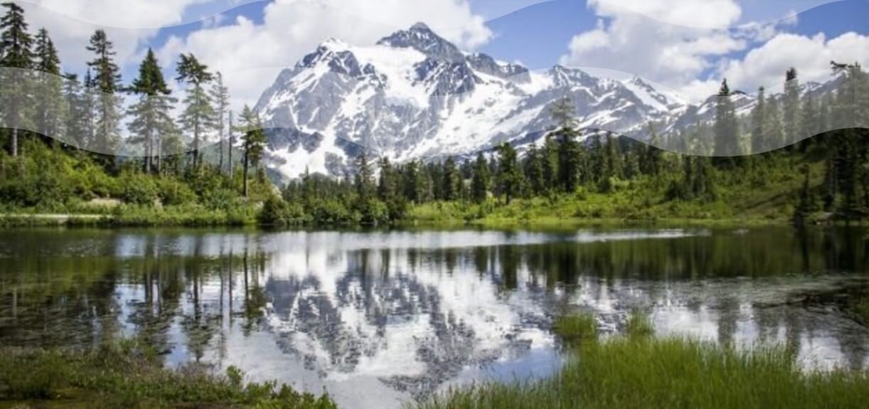
It's not everywhere that locals can claim to see a national park from their backyard. But live in the Pacific Northwest, and you may gaze into one of no less than three National Parks (North Cascades, Olympic, and Rainier National Parks), not to mention the state, country, and local preserves as well.

Contributed by Jan Hersey
It’s not everywhere that you can claim to see a national park from wherever you stand. But live in the Pacific Northwest, and you may gaze into one of no less than three National Parks (North Cascades, Olympic, and Rainier National Parks), not to mention the state, county, and local preserves as well.
With its plentiful hotels, inns, B&Bs, and campsites, Anacortes on Fidalgo Island is the perfect basecamp from which to join this celebration of the outdoors. From Anacortes, you can reach parklands to the north, south, east, and west, and be home in time for happy hour and sunsets atop the Majestic Inn.
Not sure where to start? A guided trip with a knowledgeable interpreter might be just the thing! Immerse yourself in the flora and fauna world of the marine or trail-side ecosystem. You’ll even spice up the experience with some local natural and cultural history.
“Outdoor adventures surround us here,” says Stephanie Fernandez of Skagit Guided Adventures. Stephanie settled in Anacortes following 25 years of leading nature adventures on land and sea, from the equator to the sub-arctic. Her latest endeavor began, she says, after “this Mexico City native fell in love with the amazingly beautiful and diverse environment of NW Washington. In particular, Skagit County, with its islands, coast, waterside towns, farmlands, mountains, forest, wildlife, wildflowers, and wilderness.”
Alternately, the independent-minded can pick up a book by respected NW guide author Craig Romano at Watermark Book Company or Pelican Bay Used Books. Romano’s convenient and comprehensive guides help you plan your trek. The books have sections on “getting there,” trail maps and directions, distance, difficulty, and wildlife. He also focuses on accessibility for people, kids, and pets, and succinct but evocative descriptions of each journey. Best bets for local hiking are his Day hiking North Cascades and Day Hiking San Juan and Gulf Islands (includes Anacortes and Fidalgo and Guemes islands).
HIT THE TRAIL
All that’s left is to grab some road food from one of the city’s many eateries, plus plenty of water, a camera, and binoculars. So, with gratitude for those who have set aside these public parklands for all to enjoy, here are a few destinations to get your imagination roaming. Most well within an hour’s ride—and many just minutes away.
ANACORTES
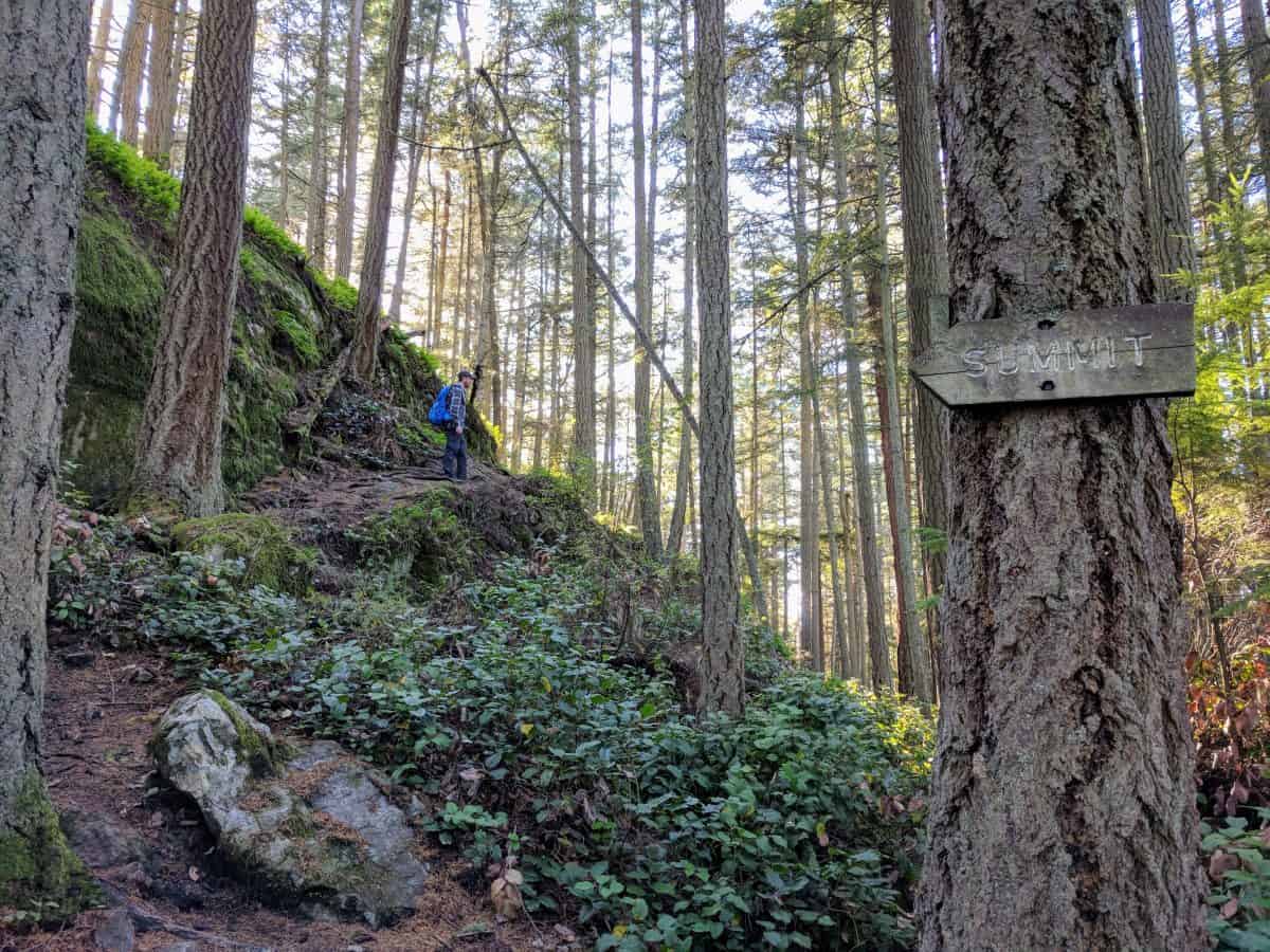
 Anacortes Community Forest Lands (ACFL): Fifty-plus miles of trails meander and climb through the city’s 2,800 protected, forested acres, connecting quiet ponds and marshlands with ancient forests and views, yes, to all three PNW National Parks! ACFL maps are available online and at Watermark Book Company.
- Anacortes Parks & Anacortes Community Forest Lands (ACFL): There’s something for everyone—walkers, hikers, dogs, bikes, campers, wheelchairs, skateboarders—at the many Anacortes parks.
- Deception Pass State Park: The iconic Deception Pass Bridge straddles swirling eight-knot waters connecting Fidalgo and Whidbey islands to create Washington’s most-visited state park. Three beaches, tide pools, old-growth trees, rugged cliffs, camping, and dramatic views are among the many features within this 4,134-acre preserve. Perfect sunset viewing from the park’s more than six miles of shoreline. A Discover Pass and boat launch permits are required.
- Guemes Channel Trail/Ship Harbor Interpretive Preserve (S.H.I.P.) Trail: This growing wetland and shoreline trail, accessible from Edwards Way off Oakes Avenue (2.2 miles from downtown Anacortes) represents the first three phases of an eventual east-west Cross Island Connection that will link Washington Park on the west with the Tommy Thompson Trail and March’s Point to the east, through downtown Anacortes.
- Historic Downtown Anacortes: Delve into Anacortes’ entrepreneurial past with a leisurely walking tour of the city’s historic homes and buildings; between 2nd and 10th
- Sharp Park & Montgomery: Duban Headlands: Both short and longer trails lead from wetlands and woodlands to knock-your-socks-off views of the San Juan Islands and Olympic Peninsula from the 400-foot rocky headland. Within the 110-acre Skagit County park, with almost a mile of undisturbed shoreline.
- Tommy Thompson Trail: Set out by foot or bike to follow the esplanade along Cap Sante Marina, through behind-the-scenes boating facilities and a restored shoreline ecosystem, onto a converted railroad trestle across Fidalgo Bay to March’s Point. Interpretive signs along this 3.3-mile trail introduce you to the history and ecology of old and present-day Anacortes. Trailheads at 22nd Street and R Ave.; Fidalgo Bay R.V. Park; 30th & U Ave.
- Washington Park: Hike the 2.2-mile paved loop or explore the winding trails of this 200-acre city park. Also, beaches, boat launches, picnic areas, campgrounds, and playgrounds.
- Whistle Lake: Great for a hot or cloudy day, this 3.7-mile hike with minor elevation gains winds around the forested edge of Whistle Lake, a former City of Anacortes reservoir, with rocky outcroppings for picnics and vistas onto the lake. Hike counterclockwise, keeping to the lakeshore trail. The trail connects to numerous Anacortes Community Forest Land trails, so a map is handy.
- Find other Fidalgo Island ideas here.
GUEMES ISLAND
Take the Guemes Island Ferry (“I” Ave. & 6th Street; walk-ons, bikes, and cars) for a five-minute ride to laid-back Guemes Island. Gentle terrain and low traffic make it a great place to bike.
- Guemes Mountain Trail: From the ferry landing on Guemes, turn right (east) on South Shore Road for 2.1 miles to the small gravel parking lot on your left. The gentle 2.4-mile, round-trip trail, rises some 550 feet through forested woodland to the glacier-scraped bald of Guemes Mountain, the highest point on the island. Panoramic views to east, north, and south. Also, springtime showcases wildflowers.
- Marsh, Bluff & Beach Walk: Low tides (less than 5 feet) offer picturesque walks along the Guemes beach immediately to the west of the ferry landing. Please respect adjoining private properties.
LOPEZ ISLAND
Hop a ferry or water taxi to access the many Lopez Island trails.
- Upright Head Preserve: Walk on the Washington State Ferry to Lopez Island to combine a ferry ride with a short hike. The trail/road begins on Penny Lane, across from the ferry parking area for the 1.2-mile, round-trip hike. (Also a fun way to pass the time if you’re stuck waiting for the ferry.) Once slated for development, the rugged headland was preserved by the San Juan County Land Bank.
- Biking: With its gently rolling terrain, Lopez is a great destination for cycling as well as for many, short, scenic hikes to lakes, spits, bays, beaches, forests, and headlands.
SKAGIT COUNTY
- Oyster Dome: Blanchard Mt. is part of the “North Cascades Corridor,” a regional landscape – and valuable habitat – of foothills, streams, lakes, and wetlands that connect the Cascade Range to the salt waters of the Salish Sea. This moderately challenging 5.5-mile trail winds through forests and past lakes to dramatic westward views below and beyond of historic oyster farms, Skagit Valley, Anacortes, the San Juan Islands, and the Olympic Peninsula.
- Sauk Mountain: Worth the drive for a taste of the North Cascades, hiking begins at the end of the rough 7.9-mile Sauk Mountain Road off Hwy 20 (east of Burlington and west of Rockport). The trail switchbacks to Sauk’s 5,500-foot summit through south-facing meadows. Enjoy views of wildflowers, edged by small groves of subalpine fir and hemlock. Below, the much-photographed view captures the Sauk and Skagit River valleys snaking into Skagit Bay, with, on a clear day, the Olympics and San Juan Islands beyond. Summit views also peer north and west into the Cascade Range and down to Sauk Lake.
- Find your way with online Anacortes biking and trail maps.
- Guide books and ACFL trail maps at Watermark Book Company; Pelican Bay Used Books.
- Clock even more miles by renting a bike at Skagit Cycle.
- Hiking info and reviews on Washington Trails Association.
- On-site and automated pay stations and online services are available for daily or annual Washington State Discover Pass and boat launch permits.
- A timely read: THE HOUR OF LAND – A Personal Topography of America’s National Parks, by Terry Tempest Williams.
Rather than Europe’s formal parks and gardens, America’s westward movement in the 1800s spawned the concept of wilderness preservation and large-scale protection of land for public enjoyment. Paintings by artist George Caitlin (1796-1872) and writings by naturalist and conservationist John Muir (1838-1914)—published in his days’ most prominent magazines (think today’s Twitter and Facebook)—as well as the establishment of grand hotels along railroad routes combined to convince government officials of the “spiritual as well as economic value” of wilderness.
The seed for the “national park” concept was finally planted with the protection of Yosemite Valley as a California state park in 1864. Other individual areas followed, including Yellowstone (1872), Mt. Rainier (1899), and Crater Lake (1902).
Other preservation efforts followed. In 1891, the Forest Reserve Act authorized U.S. Presidents to proclaim permanent forest reserves (now National Forests) in the public domain to be managed for long-term economic productivity under multiple-use conservation principles.
 And, in 1906, the Antiquities Act authorized presidents to reserve “historic landmarks, historic and prehistoric structures, and other objects of historic or scientific interest” on United States-owned or -controlled lands as “national monuments.” Finally, 100 years ago, on August 25, 1916, President Theodore Roosevelt established the National Park System.
Called America’s “best idea,” the concept spread. Today, lands are protected by many entities—states, counties, communities, and individuals. Locally, the Skagit Land Trust, San Juan Preservation Trust, San Juan County Land Bank, and Chuckanut Conservancy are among the local organizations protecting valuable ecosystems for public use and enjoyment and supporting environmental sustainability.

 Anacortes Community Forest Lands (ACFL): Fifty-plus miles of trails meander and climb through the city’s 2,800 protected, forested acres, connecting quiet ponds and marshlands with ancient forests and views, yes, to all three PNW National Parks! ACFL maps are available